Geograhical center of Switzerland
![]()
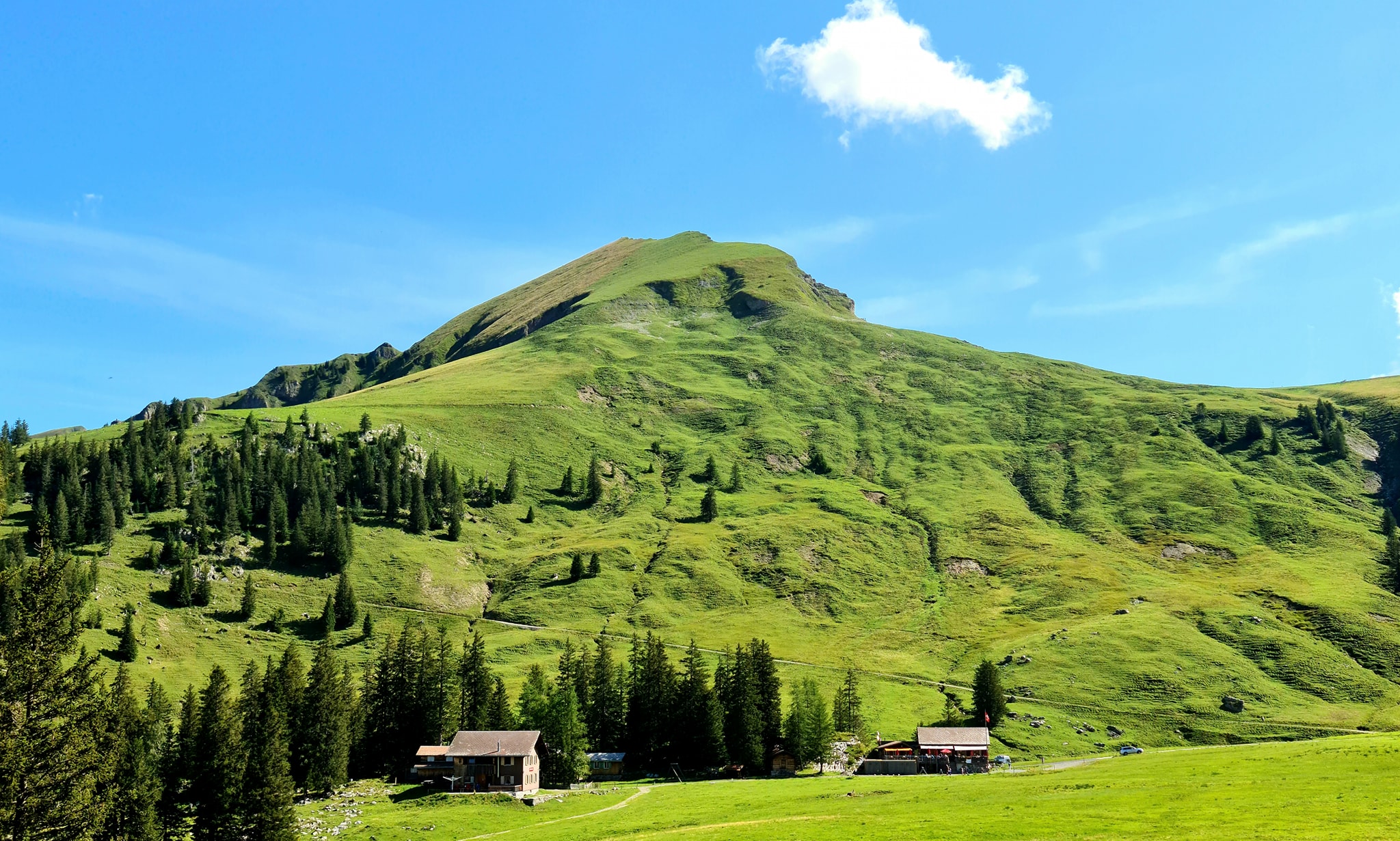
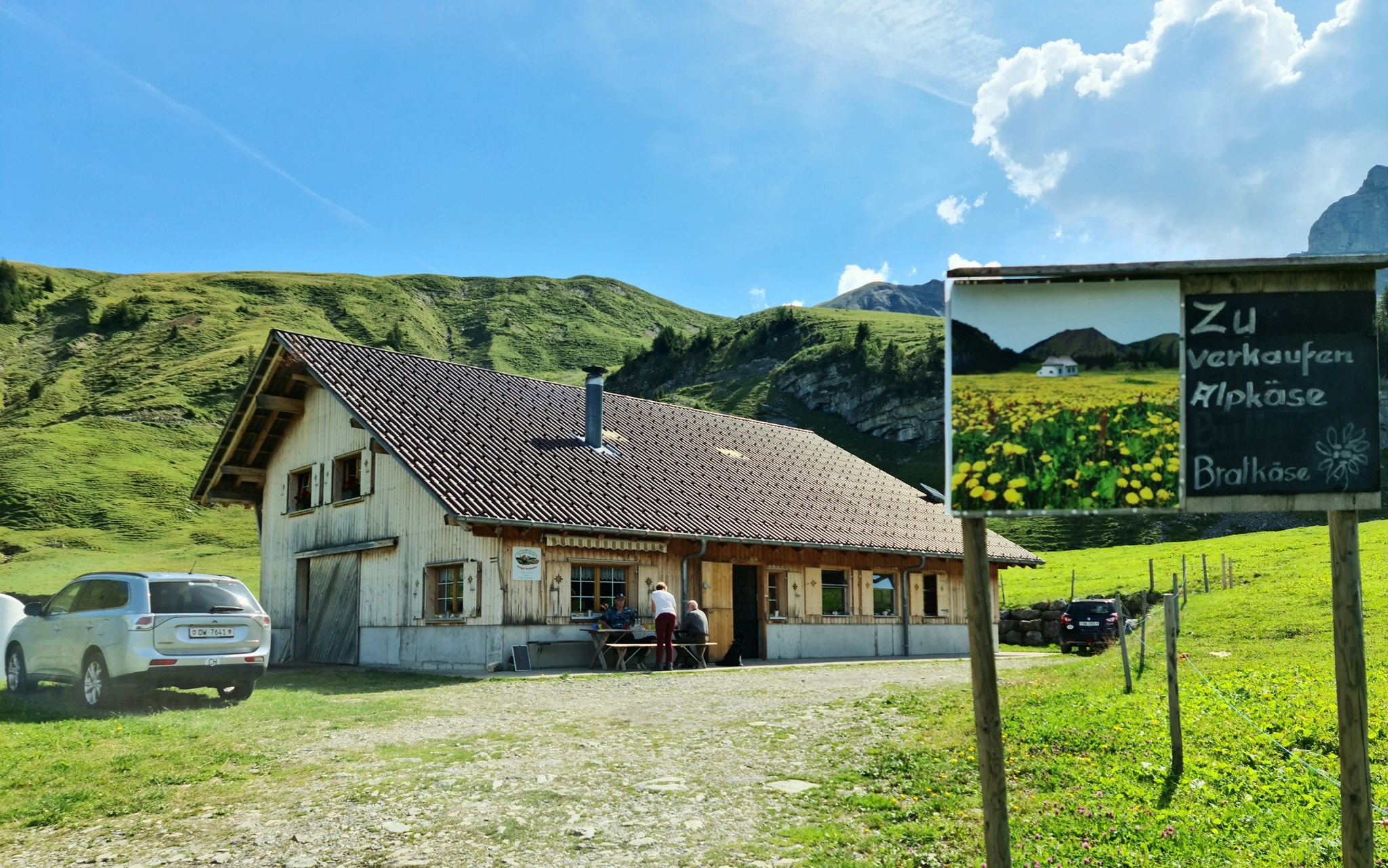
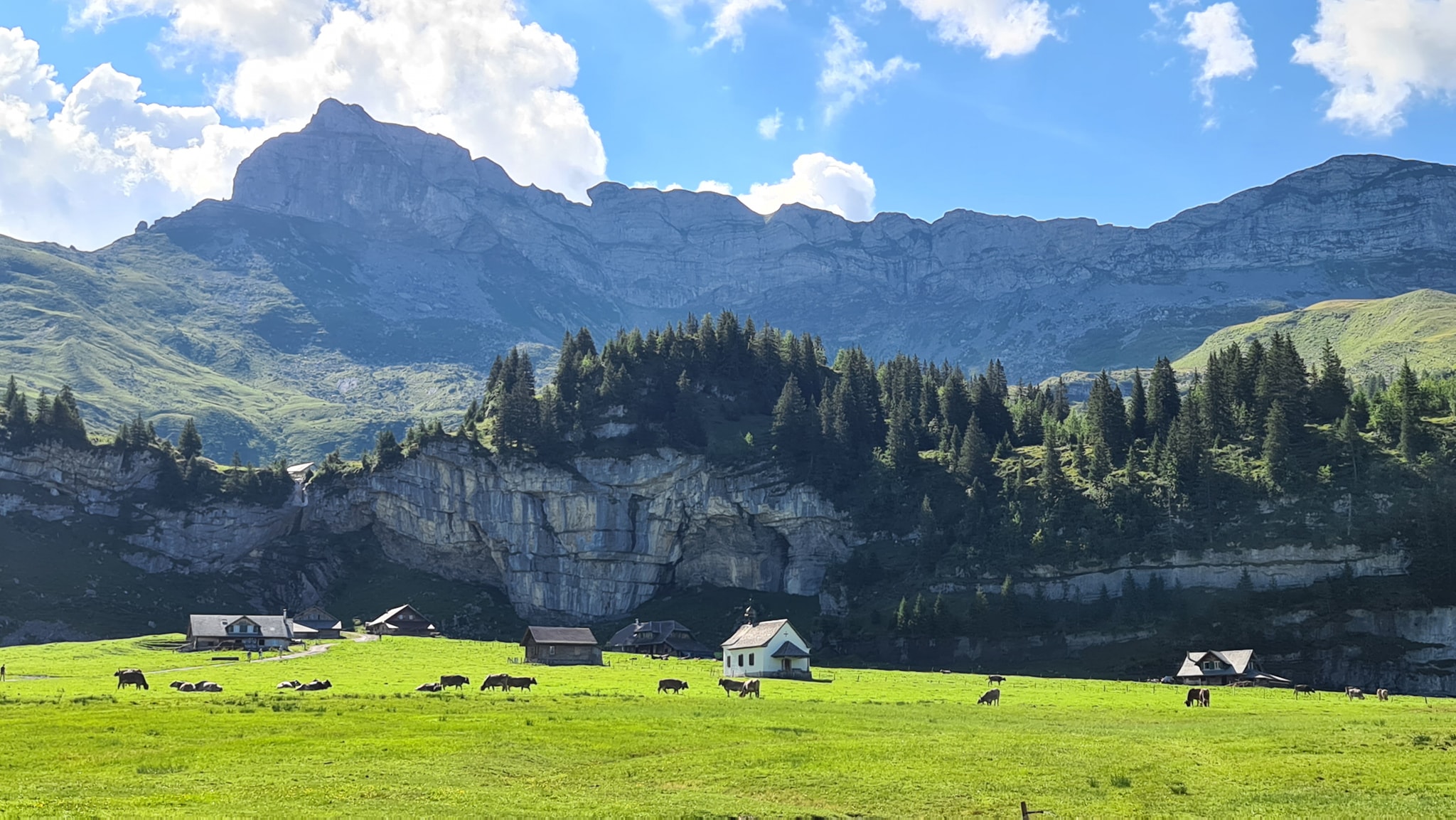
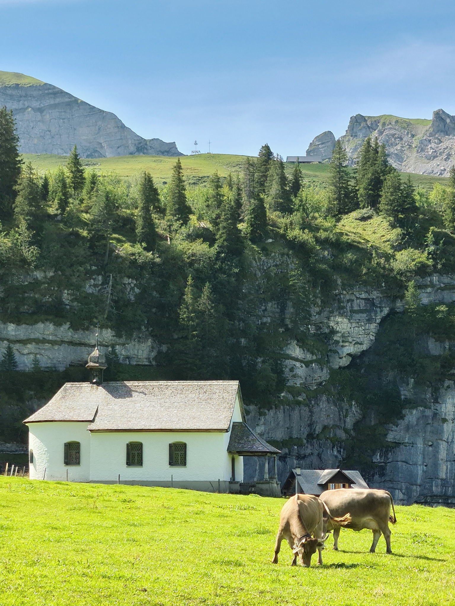
ÄLGGIALP is where the geographical center of Switzerland is located. A very tranquil, silent, and absolutely beautiful place with just some 15-20 houses in the relatively flat area, including the most picturesque little 200 years old chapel, a mountain restaurant, and a farm with a cheese dairy making the most delicious alp cheese which can be bought directly from the shelves for a very fair price, don’t miss this opportunity if you come to Älggialp.



The geographical center of Switzerland is marked with a pyramid-shaped mark over a rock. The area is surrounded by a stone-wall in the shape of Switzerland 



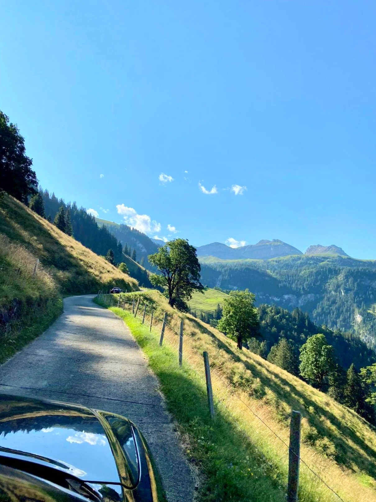
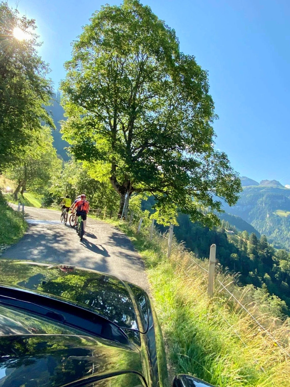
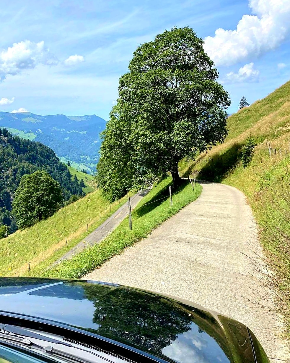
Getting to Älggi by car, as we did, has a little twist. First, there is a 5-kilometer narrow road from Edisried by Sachseln. Then, by a small parking/waiting area, cars and motorcycle drivers have to wait for the next even hour, like 10 AM, 11 AM, etc. because the last 5 kilometers, on a not less narrow and scary road, is regulated as a one-way road on weekends and public holidays. So, starting the ascent at 11 AM it takes about 20 minutes to get to the parking lot at Älggialp. Then for the descent, the road is open every odd hour 


